Sado Island
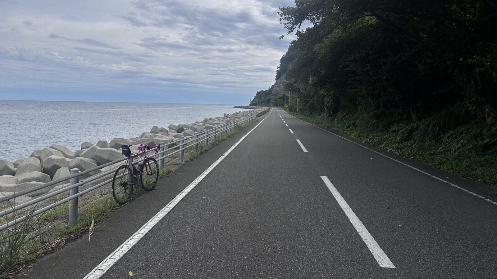
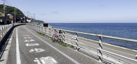
Cycling on Sado Island offers a mix of coastal roads, mountain climbs, and scenic countryside. The island, located off the coast of Niigata Prefecture, has a roughly 210 km loop around its perimeter, popular with road cyclists for its ocean views, rugged cliffs, and fishing villages. Inland, riders can tackle climbs such as Mount Donden for panoramic vistas. With relatively light traffic, diverse terrain, and cultural highlights like temples, rice terraces, and the historic gold mine, Sado is considered one of Japan’s best destinations for long-distance cycling.
The Route
Full Route
The full loop around Sado is about 210 km and can also be done in halves.
Check what other’s think and share you own thoughts on Sado Loop on Cyclists’ Road Map
Half Routes
The area between the two mountain ranges is where most people live making it easily possible to have a home base in the middle and take a hotel for a couple nights and do two day trips
Staying
There are plenty of hotels and guest houses in the central part of the island particularly in the area around Ryotsu Port (the port that connects to Niigata City)
Getting there and away
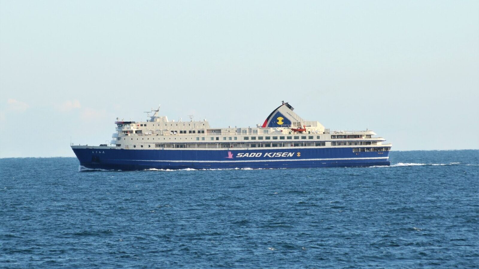
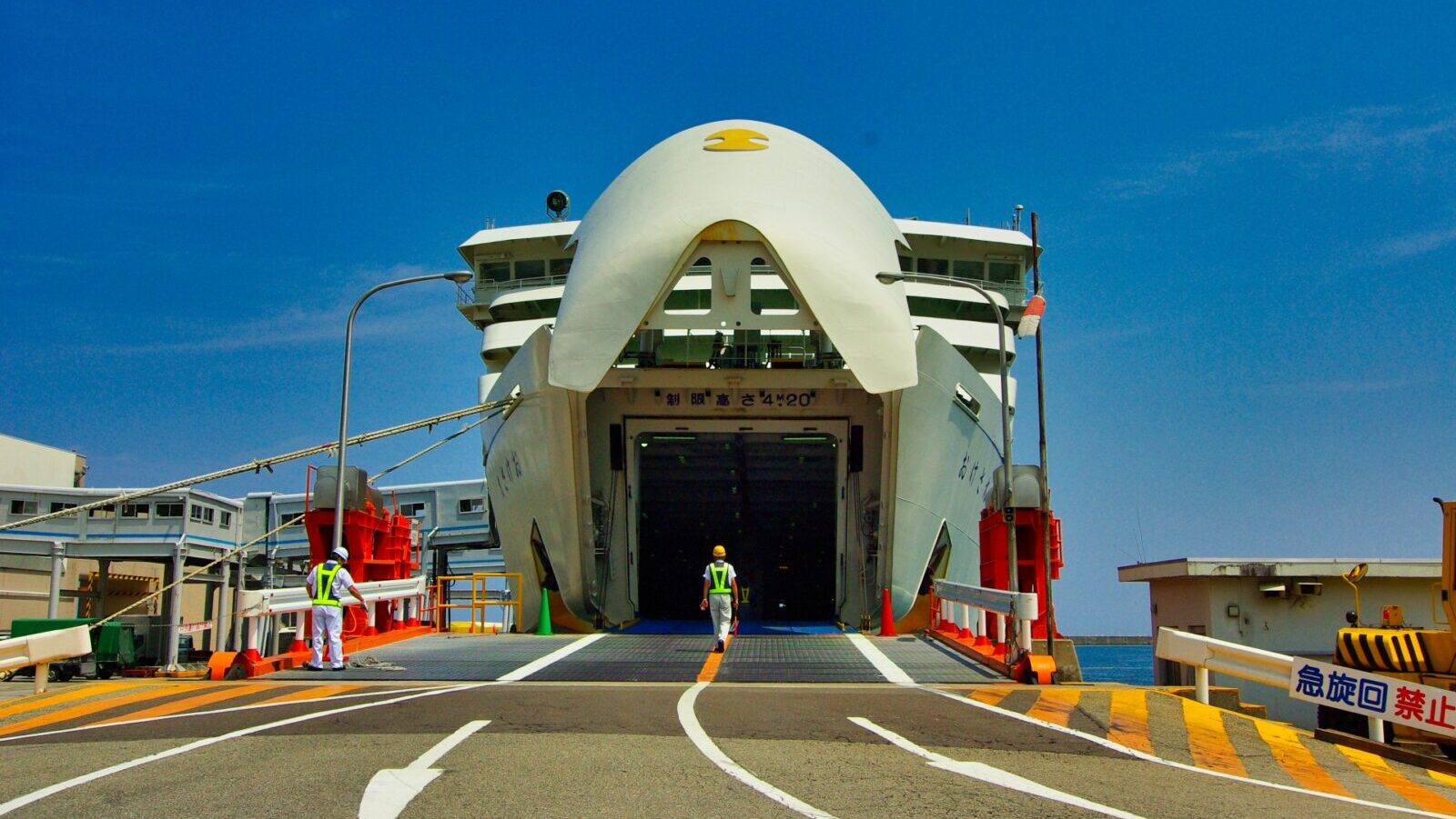
The only way to get to Sado is on the ferry. The primary connection is to Niigata City. They maintain and English website (Sado Ferry). There are two boats that do the trip. A car ferry that takes about 2.5 hours and a jet-foil that does it in about half that time. The jet foil costs about triple (7500yen) the car ferry (2500yen). Bicycles can roll-on-roll-off the car ferry for about 2500yen or they can be put in a rinko bag and taken as hand luggage on either for 500yen.
There is also a ferry service from the Southwest corner of the island to Naoetsu (also in Niigata Prefecture)
The ferry terminal in Niigata is about 3km from Niigata station with frequent bus service. Niigata is served by the Joetsu Shinkansen and is about 2 hours from Tokyo.