Edogawa River Cycle Path
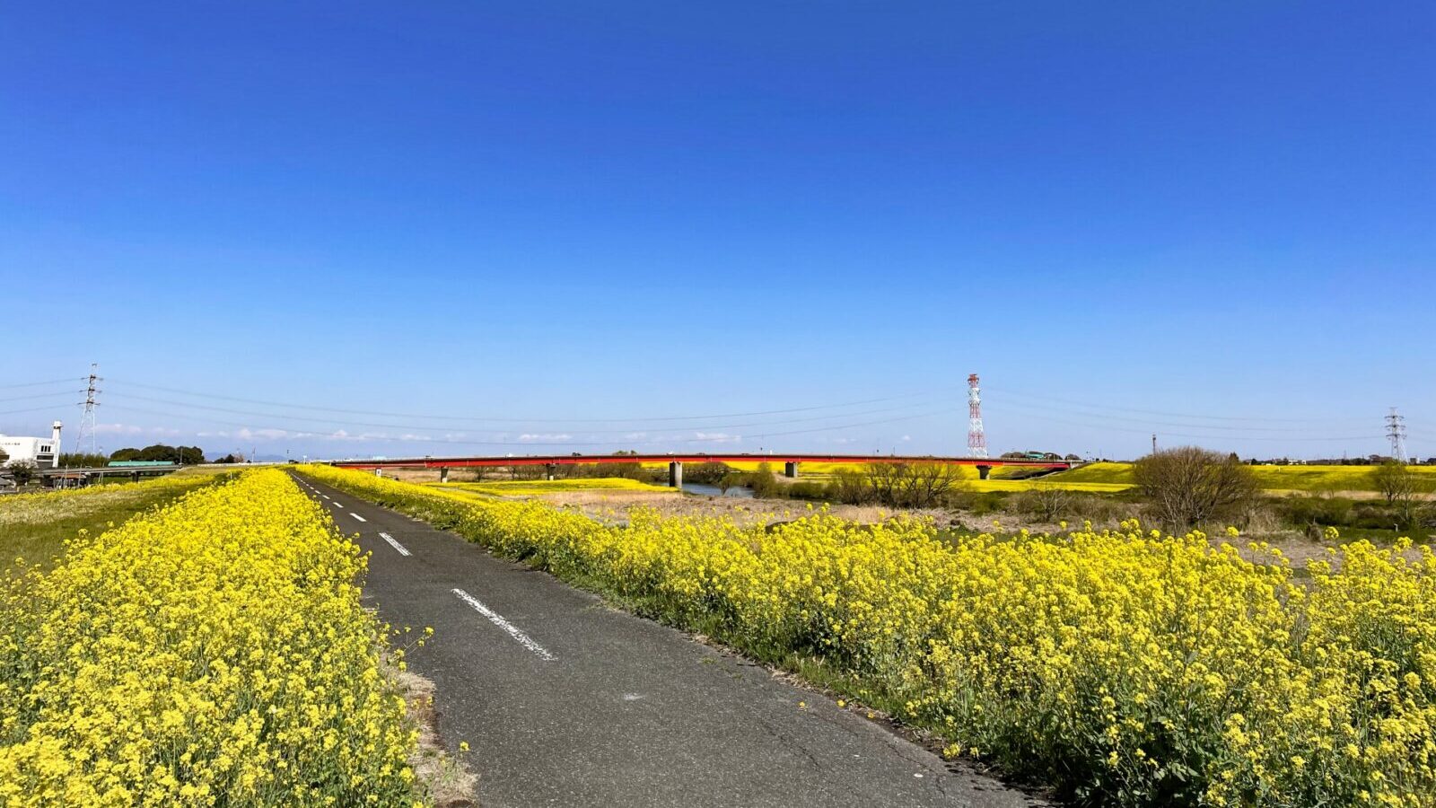
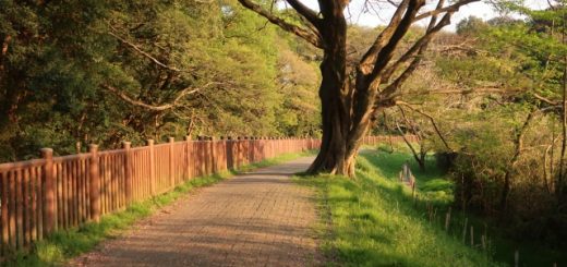
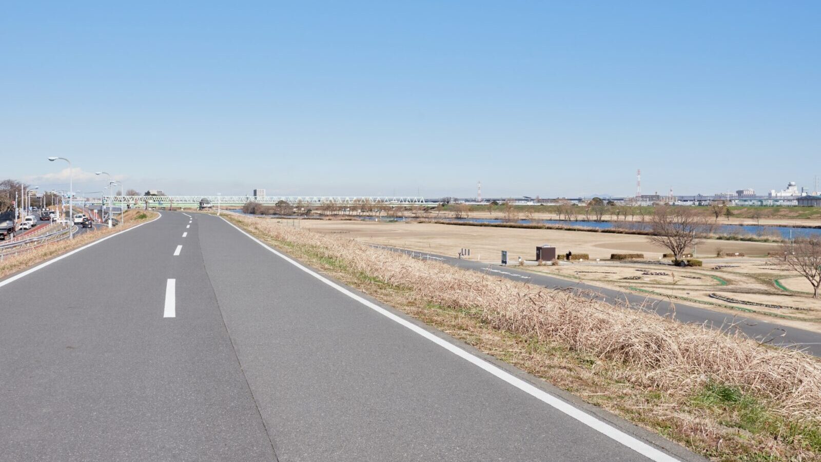
The Edo River Bike Path is a scenic and well-maintained cycling route that runs along the Edo River, spanning approximately 60 kilometers from Tokyo Bay to the river’s upper reaches in Saitama Prefecture. The path offers a flat and easy ride, making it ideal for cyclists of all levels, from casual riders to long-distance enthusiasts.
As you cycle, you’ll enjoy views of the river, open fields, and occasional urban landmarks. The route passes through quiet suburban neighborhoods, riverside parks, and areas rich with seasonal flowers like cherry blossoms in spring. With plenty of rest areas and easy access to local attractions, the Edo River Bike Path is perfect for a relaxed day of exploration and outdoor activity.
Route
The route starts at the mouth of the Edo River at Tokyo Bay between Nishi-Kasai Seaside Park and Tokyo Disney Land and runs north along the river until it joins up with the Tone River from which one can continue up as far as a Takasaki and Maebashi. The route is entirely a wide cycling path along the river
Getting there and away
South End
Urayasu on the Tozai Line (Tokyo Metro) is close to the Edogawa River but is on the wrong side of the river (note that cyclists are not allowed to use the roadway on the bridge). Slightly further away but on the correct side is Kasai Station
North End
A little ride up the Tone River, Kurihashi Station on the JR Utsunomiya Line and Tobu Nikko Line offers good access back to Toyko in about an hour